Region guide · The region
Touros region guide: beaches, reef pools, a lighthouse and a river
Calcanhar Lighthouse, the Perobas reef pools, Zumbi beach, São Miguel do Gostoso, the Catolé River and Genipabu, with the driving distance from each to Cajueiro Boulevard.
By Balaio Digital · · 4 min read
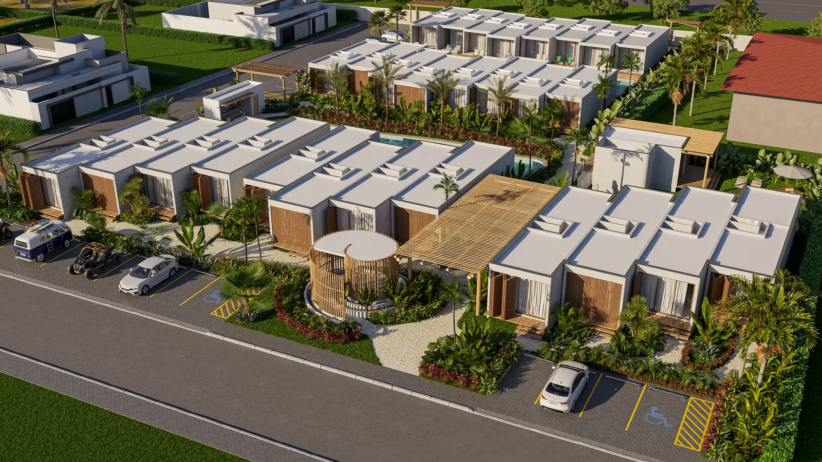
Caju Paradise is at kilometer 3 of the BR-101 highway, inside the Cajueiro Boulevard gated community in Touros. Living here puts you close to coral reef pools, a lighthouse, kitesurf beaches, dunes and an inland river. This guide covers what is around, place by place, with the distance from each one to the community.
Distances are by road, not in a straight line. The ones for the lighthouse, São Miguel do Gostoso, Tourinhos, Vila Galé, Natal and the airport were measured on Google Maps from the Cajueiro Boulevard listing on 13/09/2026. The ones for Perobas, Zumbi, the Catolé River and Genipabu were measured the same way, on 17/09/2026. Check your own map app before you head out.
Touros, where Brazil's coast turns the corner
Touros sits at the point where the coast of Rio Grande do Norte stops running north and starts running west. That is why people say Brazil turns the corner here, and it is also where the BR-101 begins: kilometer zero of the highway is 3 km from the community, next to Praia do Cajueiro.
The wind sets the pace. It blows 18 to 28 knots for almost eight months a year, and it is what brought kitesurfing to this coast. A lot of people come for weeks, not for a weekend.
Calcanhar Lighthouse
The Farol do Calcanhar is 4,5 km from the community, about 8 minutes by car, on the beach of the same name. It is 62 meters tall with 298 steps, and visits run on Sundays from 2 pm to 5 pm. More on the lighthouse's Wikipedia page, in Portuguese.
Perobas beach and the reef pools
Perobas is a beach in Touros, 28 km from the community by road, about 31 minutes. Boats leave from there for the Parrachos de Perobas, natural pools that form between the coral reefs at low tide.
The reef pools are inside the Coral Reefs Environmental Protection Area, created by the Rio Grande do Norte state government in 2001, which covers the sea off Touros, Rio do Fogo and Maxaranguape. Trips depend on the tide, so ask the boat operator about the day's times before you go.
Zumbi beach, in Rio do Fogo
Heading down the coast toward Natal, Zumbi beach is in the municipality of Rio do Fogo, 33,3 km from the community, around 30 minutes. It is one of the four beaches in the municipality, and the whole Rio do Fogo coastline is also inside the reef protection area. More about the municipality on Wikipedia, in Portuguese.
São Miguel do Gostoso and Tourinhos
The other way, to the west, São Miguel do Gostoso is 17,4 km away, about 23 minutes. The village draws kitesurfers and windsurfers with the same wind that blows in Touros.
Tourinhos beach is 26,9 km from the community, about 43 minutes, and around 14 km from São Miguel do Gostoso. It is known for the sandstone formations along the shore.
Catolé River, the inland day trip
Not every outing here is a beach. The Catolé River runs through the village of Catolé, in the municipality of Pureza, 30 km from the community to the lounge, around 38 minutes. Part of the way is a secondary road, so allow a little extra time.
On the riverbank is Rio Catolé Lounge, a place to spend the day in fresh water, with facilities on site. More on the lounge's website.
Genipabu, close to Natal
The Genipabu dunes are in the municipality of Extremoz, just north of Natal, 74,4 km from the community, around 59 minutes. It is a full day out, easy to combine with a trip to Natal.
What is close for everyday life
The Vila Galé Touros resort is 14 km away, about 22 minutes, at Fazenda das Garças, in the same municipality as the community. Natal, the state capital, is 89,6 km away, and the international airport, in São Gonçalo do Amarante, is 91,1 km away, a little over an hour by car. That is the route if you fly in.
How to use this guide
These places are on the map on the region page. If you want to know what a season at Caju Paradise looks like from here, the team talks on WhatsApp.